NORTH GEORGIA — Meteorologists are continuing to monitor a potential squall line invading North Georgia Monday night, with the RRFS model showing fairly consistent signals for this feature since Friday. Meteorologist Greg Majewski currently rates the chance as low to moderate, as the Storm Prediction Center is also watching a Slight risk of severe weather with this system. Forecasters say they will continue watching for updates heading into the new work week.
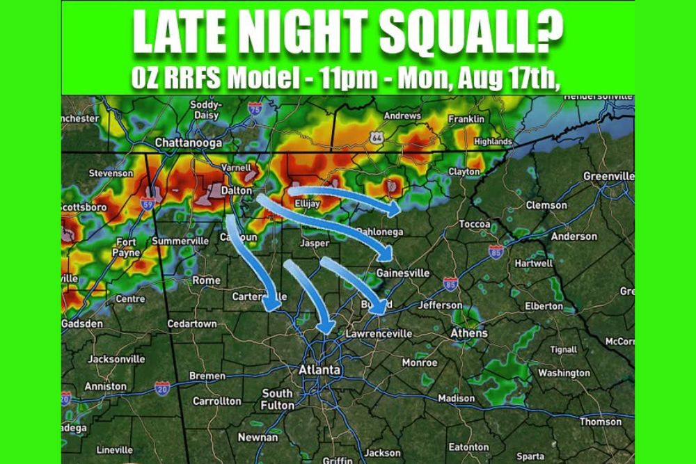
RRFS Model Shows Squall Line Tracking Southeast Through the Region
The overnight RRFS model, initialized for 11 PM Monday into early Tuesday, depicts a line of storms tracking southeast across North Georgia. The model shows the activity moving through Dalton, Chattanooga, and Calhoun before pushing toward Cartersville and the Atlanta metro area.
Areas farther east, including Gainesville, Dahlonega, and Jasper, are also shown within the path of the projected line as it advances overnight into Tuesday morning.
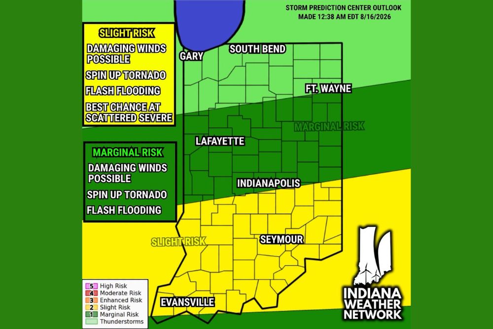
Storm Prediction Center Places Slight Risk Across the Region
The Storm Prediction Center is watching a Slight risk of severe weather in connection with this potential squall line, aligning with the low to moderate confidence meteorologists currently hold in the feature’s development.
Confidence in the exact timing, intensity, and coverage remains a work in progress, with forecasters noting the model has been consistent enough since Friday to keep the threat on the radar heading into Monday night.
Atlanta Metro and Surrounding Communities Fall Within Projected Path
The projected track carries the potential squall line directly toward the Atlanta metro area, including South Fulton, Carrollton, and Newnan, along with Lawrenceville and Athens to the east.
Forecasters say updates will continue through the weekend and into the new work week as confidence in the feature’s strength and exact timing becomes clearer.
Stay with The Main Street Journal for the latest weather updates and local forecast coverage.