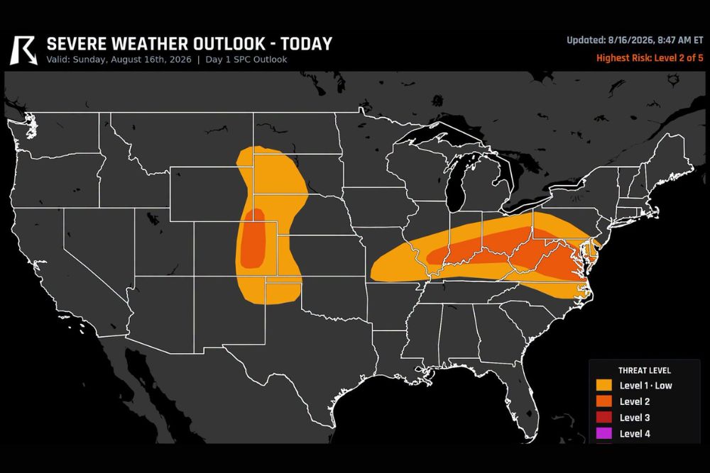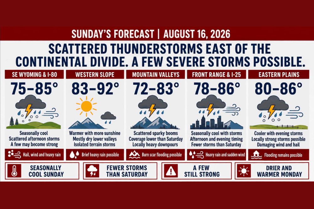
COLORADO — Scattered showers and thunderstorms are expected to develop Sunday afternoon and evening across Colorado and southeast Wyoming, mainly east of the Continental Divide. Coverage will be lower than Saturday, but a few storms could still become strong or severe. Denver and the Front Range should reach the upper 70s through middle 80s, while Colorado’s eastern plains climb into the lower and middle 80s. The better severe threat favors eastern Colorado, southeast Wyoming, and the nearby plains.
Eastern Plains and Southeast Wyoming Carry the Best Severe Threat
Storms are expected to develop during the afternoon east of the Divide and move onto the plains during the evening hours. A few of these storms may produce damaging wind, hail, and locally heavy rain.
The eastern plains are forecast to see cooler conditions with evening storms, with damaging wind and hail listed among the primary hazards, along with a continued risk of flooding.
Western Colorado Stays Warm and Mostly Dry With Isolated Terrain Storms
Western Colorado is expected to see more sunshine and warmer temperatures Sunday, with Grand Junction reaching the lower 90s and most other western valleys landing in the 80s. Only isolated mountain storms are expected west of the Divide.
Mountain valleys will see scattered sparky storms with coverage lower than Saturday, though locally heavy downpours remain possible, especially in areas near burn scars where flooding risk is elevated.
Flash Flood Threat Lower Than Saturday as Moisture Gradually Decreases
The flash flood threat is lower than Saturday because moisture is gradually decreasing across the region. However, heavy rain remains possible beneath stronger storms, particularly where the ground is already wet or near burn scars.
Morning clouds remain a forecast uncertainty. If they linger longer than expected, they could limit instability and reduce the chance of stronger storms developing later in the day.
Warming and Drying Trend Expected to Begin Monday Into Tuesday
A warming and drying trend begins Monday, with storm coverage dropping and temperatures moving closer to normal. Lower elevations are expected to approach the upper 80s and lower 90s by Tuesday.
Another disturbance and weak cold front may bring cooler temperatures and renewed storm chances by Wednesday, though the details remain uncertain heading into the new week.
Stay with The Main Street Journal for the latest weather updates and local forecast coverage.